Mapping of OFC cable line on GIS using meter level precision Lokus GNSS Receiver
Government of India has taken up a project called BHARATNET, the world’s largest rural broadband project to provide broadband connectivity to all of the 2.5 lakhs villages across India. Length of OFC to be laid is 4,77,813 kilometer.
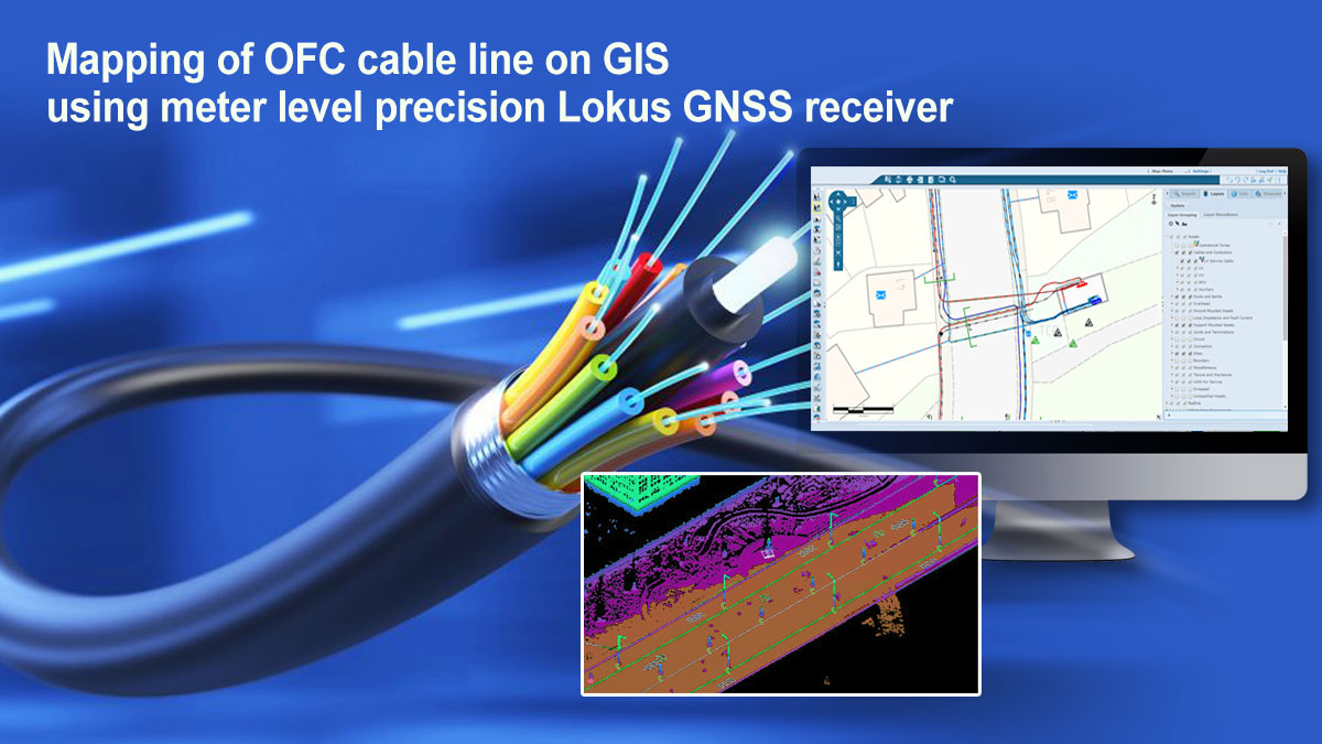
It is required to survey of executed OFC laying work, collection of Geo-tagged information with accuracy of 1 to 3 meters, so that more than 50% latitude-longitude readings have accuracy < 2 meters and more than 95% geo-coordinate readings have accuracy < 3 meters. The survey data would be uploaded on GIS with routes.
Lokus Bluetooth based external GNSS receiver was chosen as the most preferred instrument by the contractors which was used in conjunction with the Smartphones running GIS mapping Apps on it.
As a result, the contractors found Lokus GNSS as the most economical solution to achieve better than the desired accuracy of 1 – 3 meters in real time, while improving the speed of survey with approaching deadlines.
Lokus GNSS uses three constellations concurrently, increasing the availability of satellites, and integrates the GAGAN SBAS correction to enhance the accuracy. The contractors found that Lokus is many times economical than the imported instruments. Lokus did not need any training to the surveyors. The contractors used different Mobile Apps for GIS and Mapping and all of them integrated seamlessly with Lokus GNSS.
Please write to us for enquiries.