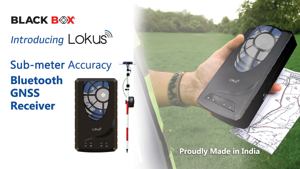
Mapping and Field-Level Accurate Data Acquisition using Handheld High-Precision LOKUS GNSS Receivers
Mapping and field-level accurate data acquisition for updating the maps is an essential tool in survey. The surveyors take their Smartphones or Tablet Computers to the field loaded with the GIS software to update the maps or acquire field data. This data is again processed with DGPS survey points to correct the map later. Two processes one after another takes time and involves high costs.
Now it is possible to combine the two processes using handheld high-precision LOKUS GNSS receivers. Write or call us for a demo.
Please write to us for enquiries.