 |
|
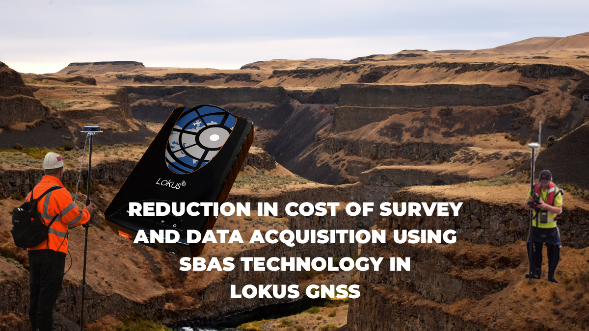
REDUCTION IN COST OF SURVEY AND DATA ACQUISITION USING SBAS TECHNOLOGY IN LOKUS GNSS
GIS survey and field data acquisition, with high precision geo-coordinates and multiple attributes is need that challenges all the infrastructure development companies be it in Telecom, Water, Drainage, Roads, Power or even Oil & Gas sectors. The usual practice has been to use high cost DGPS equipment either purchased or leased and get the survey done. This required a lot of training for the surveyors, a huge number of manpower, and long amount of time for point collections. Additionally, this activity captured geo-coordinates of points only, the other attributes were added post survey, and this process was error prone. To improve the efficiency and reduce the cost of surveys drastically, now new technologies are available in the market. Pocket sized high precision GNSS receivers now provides sub-meter accuracy in real time on the field. This GNSS receivers connect with any Mobile Phone or iPad running GIS applications. This current system now enables the surveyors acquire both the coordinates of the points, lines or polygons; and all the attributes regarding the acquired geo-coordinates – at a single go. There are certain benefits in this novel system, low cost of equipment, low cost in training, higher efficiency of data and attribute acquisition, less amounts of errors, real-time GIS updates and editing on the field itself, very high flexibility, and above all, the GNSS accuracy is at the sub meter level. Lokus GNSS receivers cost a fraction of the high cost DGPS that can save substantial amount of money in the whole survey process. Lokus Lite and Lokus Pro use three concurrent GNSS constellations and real-time SBAS corrections, as a result the data collection is much faster, when one needs sub-meter level accuracy. With Lokus GNSS paired with a GIS application running on the Mobile Phones of the surveyor, the geo-coordinates are automatically collected at the same time while the attributes and geo-tagged photos are captured. This leads to better reliability of data acquired, with hardly any errors that might creep in during the process of merging the geo-coordinates with attributes collected. On-field GIS update and editing makes sure that the process is much more accurate and efficient, and the output can be directly imported to the enterprise GIS data after necessary approvals. GIS and mapping exercises are now extremely flexible, as one can use any Smartphone or iPad and even implement BYOD system, reducing the costs of survey, improving the flexibility to an unprecedented level, as any type of standard or customized Android or iOS application can be used. Unless one is looking for millimeter level accuracy, for just any kind of standard survey or data acquisition process in any infrastructure development project, sub-meter accuracy Lokus Pro is the right solution to reduce the cost of survey operations. |
|
BlackBox Network Services India Pvt Limited info@lokusgnss.com
|