 |
|
Realtime High Quality GIS data of Utility Networks Helps Creating Digital Twins
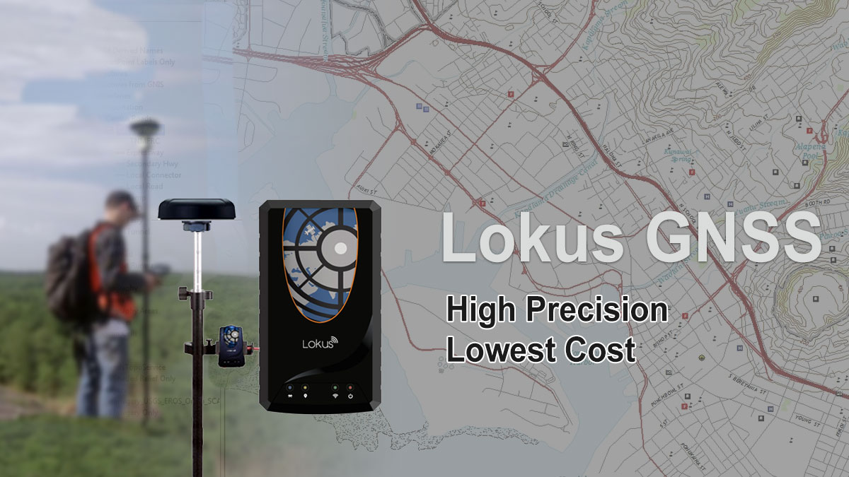
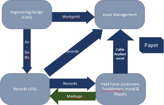
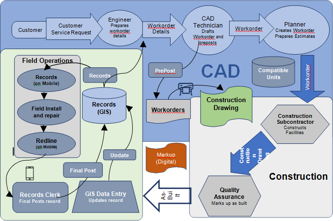
Lokus GNSS receivers paired with data acquisition and O&M Mobile Apps are revolutionizing the capture and maintenance of GIS information about utility and communications assets that can provide a foundation for the real-time network Digital Twin that is essential in the era of the smart grid and our increasing dependence on communications and utility networks. Whenever a field crew performs maintenance on network infrastructure, that might includeroutine or emergency maintenance, or sometimes encounters equipment incorrectly located or described in the GIS, the changes or the corrections to the GIS data from the field should ideally incorporate into the GIS immediately for the enterprise GIS to remain almost real time. In reality for most of the cases this is still a pen and paper-based process typically involving redlining as-builts, which are sent to the records departments for updating in the GIS. The backlog associated with field updates can stretch into months or sometimes years. The slow turnaround of field updates provides no incentive or encouragement to the field staff to report the necessary corrections and as a result the quality of the enterprise GIS remains a big question mark, and unusable in reality. For most of the Network companies, be it Gas, Power, Telecom, Water or Oil, not only is GIS data out-of-date and incomplete, but its inaccurate almost all the time. The network companies spend huge amount of money periodically to update their enterprise GIS using hugely expensive field survey teams.
Recent technical advances have made it possible to implement cost-efficient processes for ensuring that utility asset data including GIS data is accurate and up-to-date. This is a paradigm shift for the Network Companies, where the updates to the network assets are done from the field in real time, on a single click on the screen of their smartphones, using geospatial Apps that provide mapping and data acquisition facilities. Paired with LOKUS – a Bluetooth based precision GNSS receiver, the location precision of the data acquired through Mobile Phones are highly accurate. Without this recent technological advance like LOKUS, the data collected using a Mobile Phone or a Tablet would not have been accurate to be used in a GIS for the network companies. This palm-sizedGNSS receiver, LOKUS, pairs with the Mobile Phone or the Tab through Bluetooth, and enhances the accuracy of the data acquired by the Smartphones or Tabs to the meter or centimeter level, as required. While the line worker or the field crew is replacing on adding any asset or component to the existing network, he has to just capture the barcode or the make, model, and other details of the asset on the Mobile, take a photo, the high-precision location information is automatically captured, when the Mobile Phone is connected with LOKUS. This data is sent out to the enterprise GIS maintained centrally.
With the promise of this near real-time updates directly from the field this approach provides a key foundation for the Digital Twin of the network or the grid that integrates sensors reporting in real-time with simulation and analytics that makes it possible to create an accurate real-time situation assessment and to model the electrical state of the grid and possible future states based on reported or forecast outages and planned expansions and other changes to the electric network. |
|
BlackBox Network Services India Pvt Limited info@lokusgnss.com
|